Blog· October 7, 2026
Satellite imagery vs drone inspection for commercial roofs
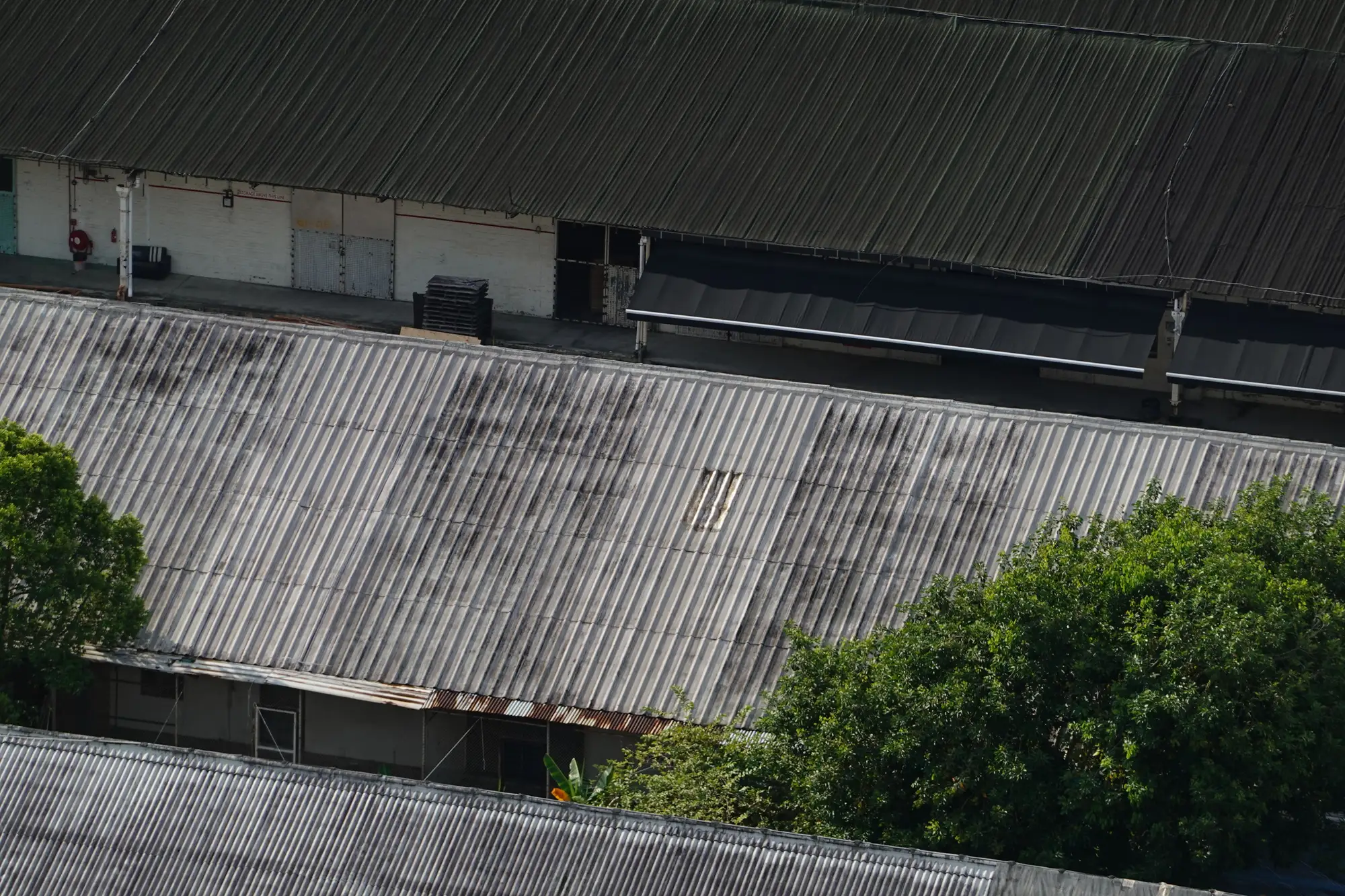
A facilities VP asked us last month why he'd pay for satellite imagery when a drone gives him closer, sharper photos of the actual shingles. Fair question. They solve different problems, and most capital planning teams end up using both at different points in the year.
What each one gets you
A drone pass over a single roof gets you close. Oblique angles, thermal overlays if you pay for them, enough resolution to count individual blisters on a membrane or read the serial number off an RTU. That's the right tool when you've already flagged a building, maybe a warranty claim is in play, or a tenant has filed a complaint and someone needs to stand behind a report with photos a roofer can't argue with.
VHR satellite and aerial imagery, at 0.3 m or finer resolution, gets you wide. Instead of one roof in exhaustive detail, you get every roof, parking lot and yard in the portfolio in one pass, read from directly overhead. You can see cracking patterns across a lot, see where ponding is spreading on a membrane, see whether landscaping at a property is holding up or sliding. You lose the thermal data and the 45-degree angle a drone gives you on a parapet wall. You gain the ability to look at 40 addresses the same week instead of scheduling 40 separate site visits.
Where the cost goes
Drone roof inspection cost runs mostly to coordination. Someone has to schedule a pilot per site, clear airspace near any flight restrictions, get a tenant or property manager to grant access, and wait for weather that cooperates. Multiply that across a portfolio spread over several states and the line item stops being "a drone inspection" and starts being a logistics project with its own calendar. That's fine when the building in question needs it. It stops being fine as the default way you check condition on every roof you own, every year.
Capital planning teams tend to underestimate this going in: the per-site cost of a drone inspection is roughly fixed whether the roof is fine or falling apart. You pay the same coordination overhead for the building that needs nothing as the one that needs a reroof next quarter. Remote roof condition monitoring from overhead imagery flips that math. The pass covers every address at once, and the sites that actually need a closer look get identified by the pass itself, so the drone budget (or the roofer's truck roll) gets spent on the handful of roofs where it's earned, not on confirming that the other ninety are still fine.
When you still need the truck roll
Overhead imagery won't replace a roofer's eyes on a membrane seam or a drone's thermal scan of a suspected moisture pocket. If a site comes back flagged for surface wear in an annual pass, that's the trigger to send someone, not the end of the process. The imagery's job is narrowing a portfolio of hundreds of roofs down to the dozen that belong on next year's capex list, and giving you a ranked order to work through instead of a guess about which address to visit first.
That's the gap Asset Condition Review is built to close: one VHR pass over the portfolio, scored per site for roof wear, lot cracking and striping, and yard upkeep, delivered as a ranked list and a map layer instead of a stack of inspection PDFs. You still call the roofer or the drone pilot. You just know which addresses are worth the call before budget season starts.
If your capital plan has more addresses on it than your inspection schedule can realistically cover this year, that's the exact problem a portfolio-wide condition pass is built to solve.